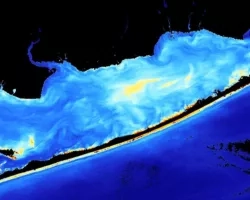
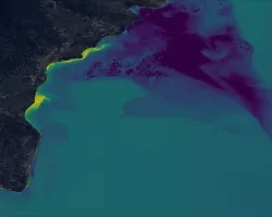
SPARROW is widely used throughout the United States for long term, steady state water quality analysis. However, users are increasingly asking for a dynamic version of the model that can provide seasonal estimates of nutrients and suspended sediment to receiving waters. Time varying SPARROW forecasts would aid water managers in decision making regarding allocation of resources in protecting aquatic habitats, planning for harmful algal blooms, and restoration of degraded habitats in stream segments and estuaries. The spatial and temporal scale of satellite remote sensing products and LIS modeling data make these sources ideal for the purposes of development and operation of the dynamic SPARROW model. Remote sensing products can potentially contribute several critical independent variables in a SPARROW calibration (a non-linear regression) in which the dependent variables are the water quality constituents total nitrogen, total phosphorus, and suspended sediment.
End users/partners: Mobile Bay National Estuary Program, Tampa Bay National Estuary Program, Sarasota Bay National Estuary Program, Weeks Bay National Estuarine Research Reserve, North Inlet-Winyah Bay National Estuarine Research Reserve
Data sources, models, technology: MODIS, VIIRS, OMI, LIS, Landsat, Sentinel, SMAP, GRACE, NLCD
Related Impact