Bryce Canyon Water Resources (Fall 2022)
Team: Aaron Carr (Project Lead), Mel Frost, Alissa Stark, Ashley Grinstead
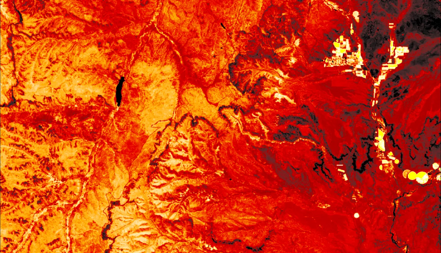
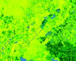
Summary: Bryce Canyon National Park is home to groundwater-dependent ecosystems (GDEs) that are threatened by a multidecadal drought and increased groundwater extraction due to a spike in tourism. These ecosystems contain unique species that are only found in areas where near-surface groundwater is present, such as aspen groves and fens. These species contribute to the high biodiversity in Bryce Canyon, which boosts an ecosystem’s productivity and the services it provides to the park. Unfortunately, many of these GDEs are too small to identify with traditional Earth observation platforms and are difficult to reach for monitoring purposes physically. This project partnered with the National Park Service to identify springs and seeps as a proxy for GDEs within Bryce Canyon from 2013–2022. The team mapped groundwater discharge with the high-resolution National Agriculture Imagery Program (NAIP) and assessed park vegetation trends with Landsat 8 Operational Land Imager (OLI) and PlanetScope imagery. In-situ precipitation data and the Western Land Data Assimilation System (WLDAS) were used to produce time series of climatic variables. Seeps and spring locations were predicted using random forest classification and maximum entropy machine learning models.


