Keweenaw Bay Water Resources (Fall 2022)
Team: Khaim Syed-Raza (Project Lead), Sofia Vahutinsky, Lisa Siewart, Nora Whitelaw-McDonald
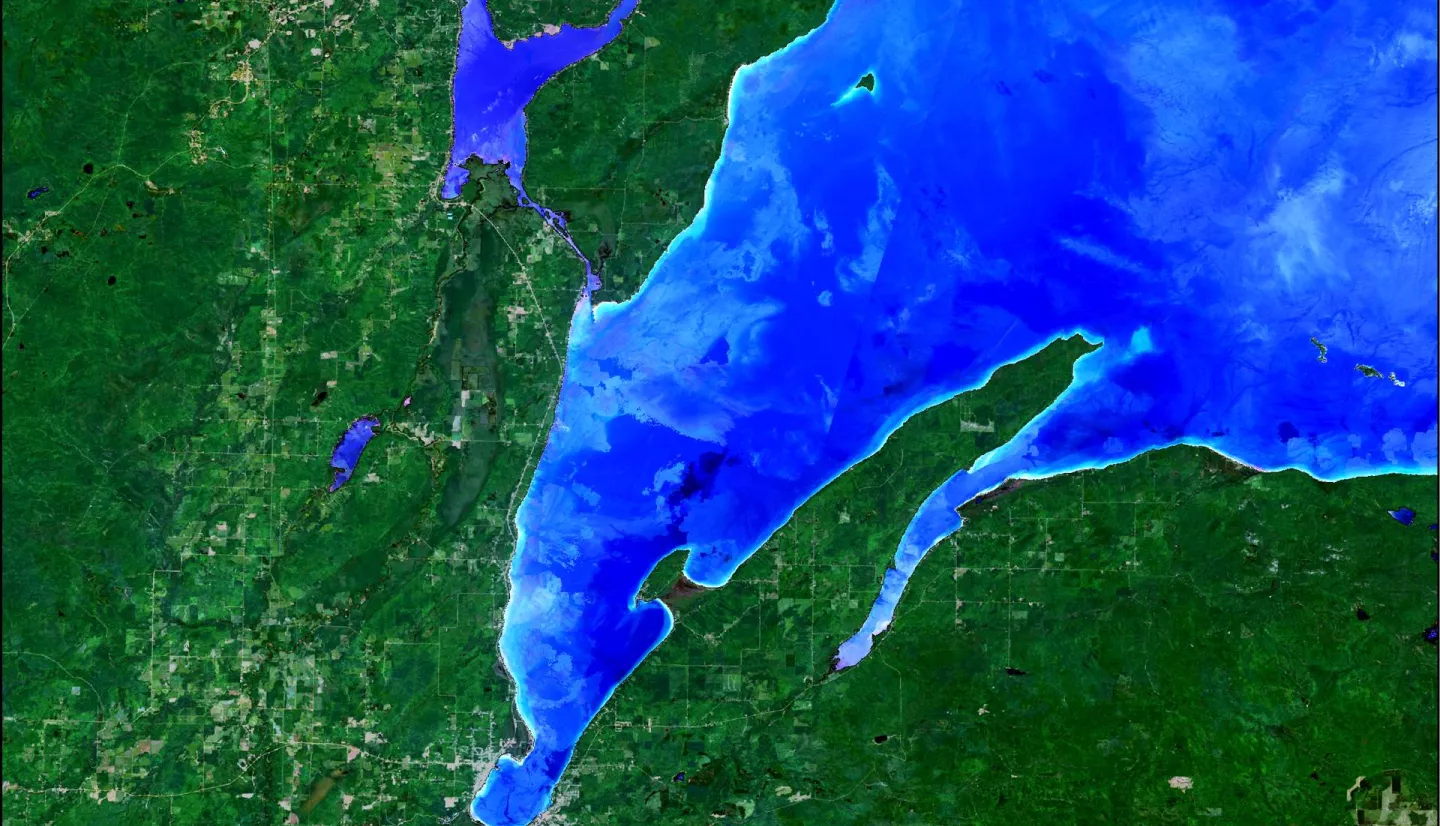
Summary: The Keweenaw Bay Indian Community (KBIC) has a shoreline south of Lake Superior that is contaminated with copper stamp sands from legacy mining. The stamp sands have been capped with sandy-loam soils and restored native species, but erosion and flooding threaten to re-deposit these stamp sands onto wetlands and into the bay. Erosion and flooding also endanger the loss of beaches and shorelines, infrastructure, wetland restoration projects, and coastal highways, which has driven shoreline armoring. However, while shoreline armoring can effectively protect the intended areas, it can also exacerbate erosion in nearby unarmored regions, so its net impact on the shoreline is yet to be quantified. The DEVELOP team partnered with KBIC and the Environmental Protection Agency (EPA) to utilize imagery from Landsat 8 Operational Land Imager (OLI) and Sentinel-2 Multispectral Instrument (MSI) to analyze turbidity proxies. These analyses showed that seasonal variation in the study area was most significant during the rain-dominated season. Still, spatial variability across our study period was unclear and did not show a clear trend. These results will better inform future shoreline management efforts and support resilience in the face of more coastal erosion.
Related Impact