Jobos Bay Water Resources II (Spring 2022)
Team: Lily Oliver (Project Lead), Katherine Hahn, Rachael Barrows, Susan Jarvis
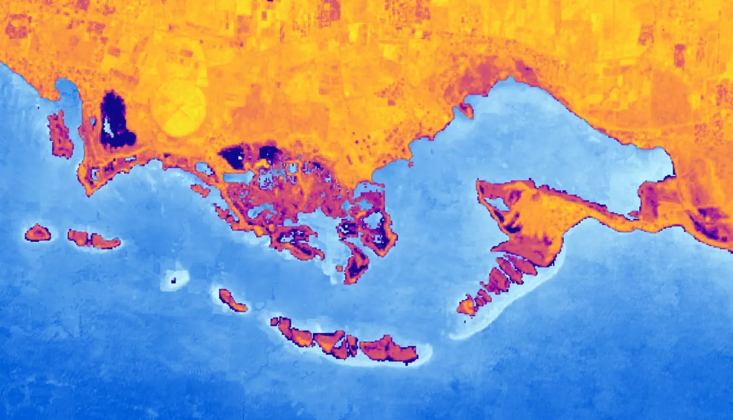
Summary: High-intensity storms and coastal development negatively impact the ecosystems of Jobos Bay, Puerto Rico, by causing reductions in mangrove forests and degradation of water quality. These changes compromise the ecosystem services, economic value, and cultural significance that Jobos Bay provides to the community. In collaboration with the Jobos Bay National Estuarine Research Reserve (JBNERR), a NASA DEVELOP team used Earth observations to investigate water quality, watershed land use land cover (LULC), and the impact of Hurricanes Maria and Irma on this mangrove forest area. The team examined mangrove extent using imagery from Landsat 8 Operational Land Imager (OLI), WorldView-2 WV110, and WorldView-3 WV110. Imagery from Sentinel-2 MultiSpectral Instrument (MSI) was used to map watershed LULC. Landsat 8 OLI and Sentinel-2 MSI data were analyzed with in situ data collected at the time of the satellite overpass to investigate water quality in Jobos Bay. Analysis of current watershed LULC produced a map that is similar to ground-truth imagery. A reduction in mangrove extent was observed following the 2017 hurricane events and extent increased over the following years. Water quality derived from satellite data was compared to in situ water quality measurements to inform future methodology decisions. Overall, this information will improve JBNERR’s understanding of the impacts of development and weather events on Jobos Bay, as well as inform future shoreline management decisions that ensure the continued quality of the ecosystem.
Related Impact