Description
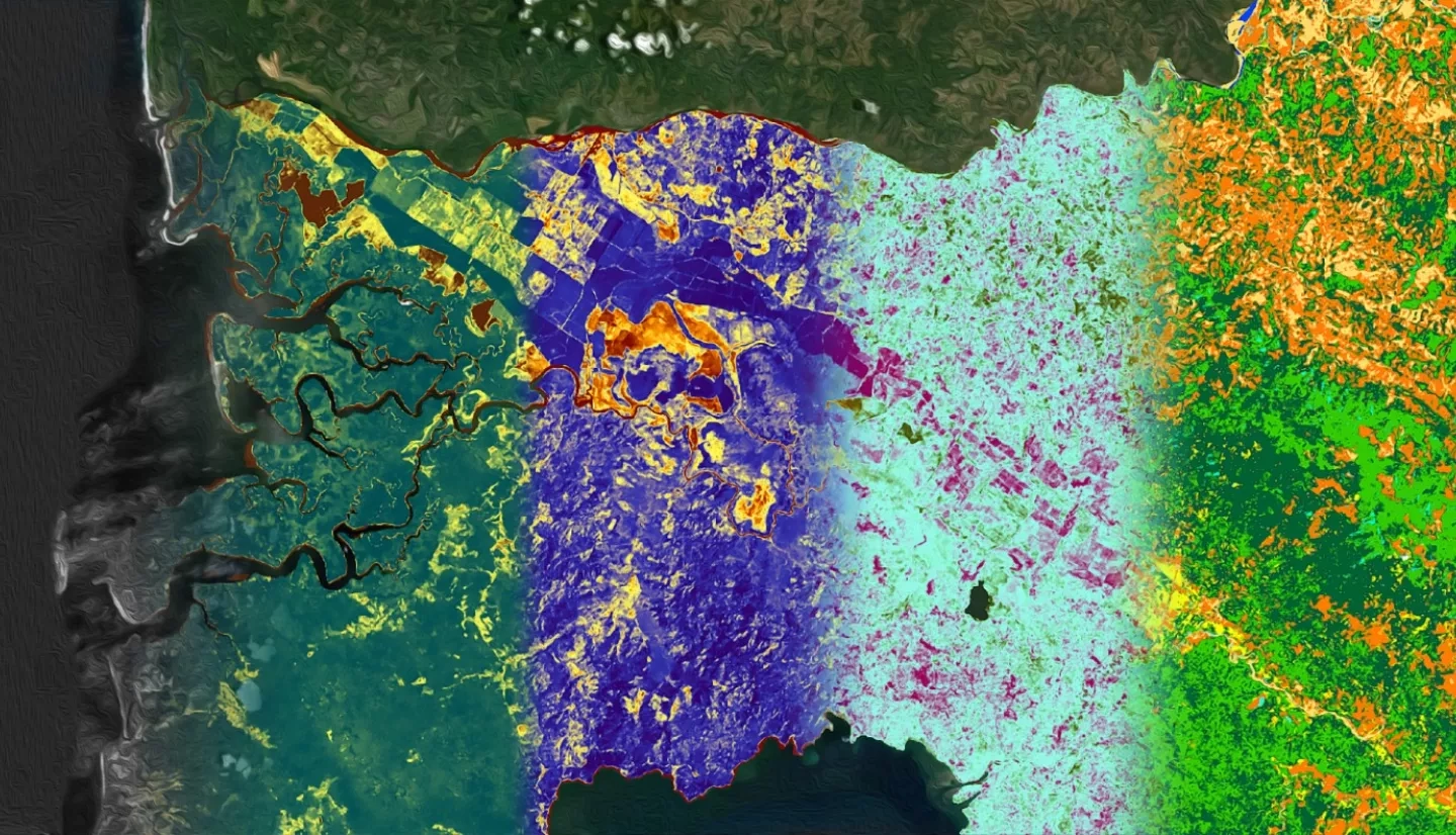
NASA’s Indigenous Peoples Pilot and the United Tribes Technical College (UTTC) are partnering to offer the virtual course "Introduction to Remote Sensing on Indigenous Lands".
This course will consist of four modules: (1) an introduction to remote sensing and NASA data, (2) land cover classification, (3) change detection and time series analysis, and (4) web tools for remote sensing. Each module will be presented with lectures and hands-on lab exercises where participants will analyze data using Geographic Information System (GIS) software. The lab sections of this course will be taught on ArcGIS Pro, with options for ArcGIS Desktop and QGIS (freely-available).
Each theme will also focus on the lands of a tribal partner such as the Navajo Nation, the Sault St. Marie band of Chippewa Indians, the Samish Indian Nation, the Tulalip Tribes, and others. For each theme, the trainers will be joined by tribal members from the region to discuss the importance of remote sensing to natural and cultural resource management.
Prerequisites: Intermediate computer skills are a plus. Some knowledge of geospatial data or previous GIS courses recommended.
Software: The course will be taught in ArcGIS Pro. For most exercises, we will also have guidance for ArcGIS Desktop and QGIS, but the course will focus on the ArcGIS Pro examples.
- ArcGIS Pro (paid)
- QGIS (free)
This training is open to the public with participants eligible to apply for continuing education units (CEUs) from United Tribes Technical College upon completion of all hands on exercises covered in the course. Please indicate on your registration if you're interested in receiving CEUs and staff will follow up closer to the course start date on specifics.
This training will be conducted virtually and through four, two-part modules:
- Week 1: Introduction to Remote Sensing & NASA Data (10/6 and 10/8)
- Week 2: Land Cover Classification (10/13 and 10/15)
- Week 3: Change Detection & Time Series (10/20 and 10/22)
- Week 4: Remote Sensing Webtools (10/27 and 10/29)
- Introduction to the Navajo Nation
- Lecture: Introduction to remote sensing
- Exercise 1: Investigating color in a satellite image
- Lecture: Data portals and spectral indices
- Exercise 2: Accessing and downloading data
- Exercise 3: Vegetation indices
- Introduction to the Sault Ste Marie Band of Chippewa Indians
- Lecture: Land cover classification
- Exercise 4: Unsupervised classification
- Exercise 5: Supervised classification
- Lecture: Accuracy assessment
- Exercise 6: Accuracy assessment
- Introduction to the Rosebud Sioux Tribe
- Lecture: Overview of change detection
- Exercise 7: Change detection
- Lecture: Time series analysis
- Exercise 8: Time series analysis
- Introduction to the Samish Indian Nation and the Tulalip Tribes
- Lecture: Webtools for remote sensing
- Exercise 9: Climate Engine and the Drought Severity Evaluation Tool (DSET)
- Exercise 10: FIRMS Active Fire Mapper and Worldview
- Exercise 11: Global Forest Watch
- Course Summary and Feedback
For training materials, visit: https://uttc.edu/introduction-to-remote-sensing-for-tribal-lands/


