Displaying 11 - 20 of 53
Capacity Building
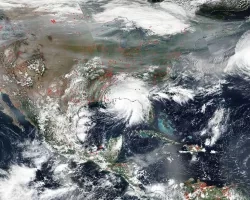
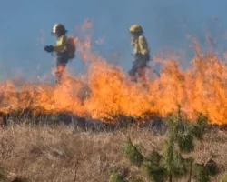
Disasters

Applied Sciences
Capacity Building
Disasters
Ecological Conservation
Agriculture
Health & Air Quality
Water Resources
Prizes & Challenges
2021 Earth Science Applications Week - Disasters
Resource Type
Applied Sciences
Socioeconomic Assessments
VALUABLES
Prizes & Challenges
Applied Sciences
Climate
Risk & Resilience
SDG
Capacity Building
Disasters
Group on Earth Observations

Hawai‘i Island Disasters (Fall 2021) Team: Garren Kalter (Project Lead), Rose Eichelmann, Sanketa Kadam, Erin Azuma, and Anna Mikkelsen Summary: As the County of Hawai‘i...
Central America Disasters (Fall 2021) Team: Caroline Williams (Project Lead), Lauren Carey, Maria De Los Santos, Deanna Fanelli, and Payton Ireland Summary: In November 2020...