Displaying 161 - 170 of 305
Topic
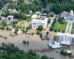
This project utilized satellite Earth observations to assess locations in Mobile County, Alabama, that are vulnerable to the urban heat island effect (UHI) and flood...

Mato Grosso Agriculture (Summer 2022) Team: Max Rock (Project Lead), Elijah Dalton, Aidan Harvey, Kate Reynolds Summary: Ranked as the fourth largest food producer in...
Okefenokee Water Resources (Spring 2022) Team: Brianne Kendall (Project Lead), Kyle Steen, Hailey Schmidt, Laramie Plott Summary: The Okefenokee Swamp is a vital ecosystem known...
Topic
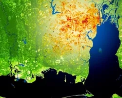
Description: This project provides a range of surface water products related to lakes, reservoirs, and wetlands in a near real time framework. It also offers...
Topic
Description: This project provides a range of surface water products related to lakes, reservoirs, and wetlands in a near real time framework. It also offers...
Topic
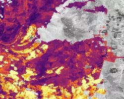
Forest composition and structure in the Colorado Front Range has been altered by changing wildfire regimes. In particular, increased moderate- and high-severity fire significantly reduces...
Topic
This proposal aims to expand a lake and reservoir monitoring program. This program is on-line, operational, with an existing decision support system (DSS) in place...