
SUMMARY
Start Date: Nov. 17, 2021
Type: Floods , Landslides
Region: North America, British Columbia, Canada. Washington State, U.S.A.
Info & Resources:
- View products on the NASA Disasters Mapping Portal
- NASA Disasters program resources for floods
- NASA Earthdata Toolkits - Floods
- Environment Canada: Weather Information
UPDATE NOV. 19, 2021
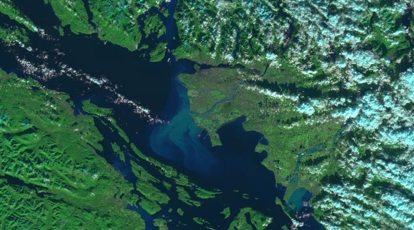
On Nov. 17 a state of emergency was declared in the Canadian province of British Colombia as heavy rainfall from an atmospheric river brought severe flooding and landslides to the region. According to media reports over 18,000 people have been stranded or displaced as flood waters and landslides cut off all major transport routes. The Canadian military has been deployed to aid rescue and evacuation efforts and provide much-needed supplies to stranded residents. There have been severe economic impacts to the region, with homes and farmlands underwater, thousands of drowned farm animals, and recovery costs currently estimated to exceed $1 billion. Floods have also impacted the nearby U.S. city of Sumas in Washington State.
NASA IMERG satellite-derived precipitation rates and accumulations for Nov. 10 – 16, 2021, showing heavy rainfall from the atmospheric river event that brought severe flooding and landslides to British Colombia. Credits: NASA / Jason West (NASA GSFC / PPS / KBR, Inc.)
NASA’s Earth Applied Sciences Disasters program area has activated efforts to monitor the impacts of the flooding and landslides with Earth-observing data, and support the response and recovery efforts of local emergency management teams. The program is working with representatives from BGC Engineering, an Earth science consulting firm that works closely with the Canadian government, to identify and supply data for flood extent and flood depth using satellite optical and synthetic aperture radar (SAR) observations. The teams are also looking for regions with landslides that have not yet been identified, and are investigating the potential for future impacts should additional rainfall hit the region in the coming weeks.
These efforts are being supported by the NASA ROSES A.37 research projects “Enabling Landslide Disaster Risk Reduction and Response throughout the disaster life cycle with a multi-scale toolbox”, “Integrating SAR Data for Improved Resilience and Response to Weather-Related Disasters” and “Open Critical Infrastructure Exposure for Disaster Forecasting, Mitigation and Response”.