Displaying 121 - 130 of 305
![2022 Spring CO Boulder County Disasters Website Image](/sites/default/files/styles/lis/public/2022-06/2022Spring_CO_BoulderCountyDisasters_WebsiteImage.png.webp?itok=1X2GgkIw)
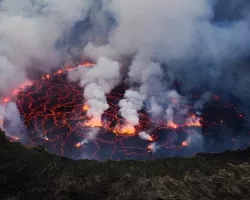
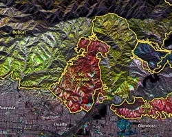
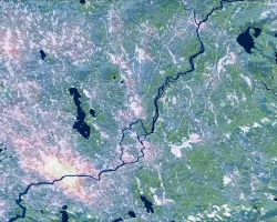
Boulder County Disasters (Spring 2022) Team: Sarah Hettema (Project Lead), Jennifer Rogers, Ibuki Sugiura, Erin Twaddell Summary: In recent years, record-breaking wildfire activities in the...
Podest, E.; McCullum, A.; Torres-Pérez, J.; McCartney, S.; Siqueira, P.; Lei, Y.; Whelen, T.; Kraatz, S. (2020).
![Forest cover and land surface temperature (LST) around Maine's Penobscot River during Summer 2021. The shades of green distinguish between evergreen (dark) and deciduous (light) forest which were classified using Landsat 8 OLI imagery. The purple gradient corresponds to LST derived from Terra MODIS where the warmest areas, including Bangor, are white. Changing land use and warming temperatures along Maine’s rivers are associated with reducing juvenile Atlantic salmon (Salmo salar) survivorship.](/sites/default/files/styles/lis/public/2022-11/2022Sum_GSFC_MaineEcoIII_WebsiteImage.jpg.webp?itok=EiYDdUqO)
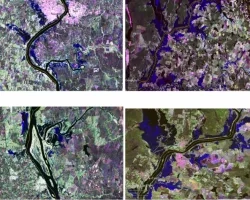
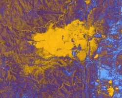
Maine Ecological Forecasting III (Summer 2022) Team: Jonathan Falciani (Project Lead), Colin Hogan, Linda Mitchell, Makario Sarsozo Summary: Shifting patterns in land use and land...
![Satellite image of the US with ARSET logo](/sites/default/files/styles/lis/public/2023-03/Website_Header_v2.jpg.webp?itok=R751yy9e)
Training Type
Level
Advanced
Date
Marzo 21, 2023 - Marzo 23, 2023
Learn how you can leverage our resources to help your community or organization, and how to partner with us for research, data sharing, training and more.
![Mt. Nyiragongo Lava Pool. Credits: Cai Tjeenk Willin (CC BY-SA 3.0)](/sites/default/files/styles/lis/public/2021-06/volcano-pool.jpg.webp?itok=IRc1gu9N)