Displaying 1 - 4 of 4
Topic
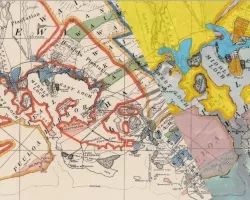
This project explores the potential of Remote Sensing (RS) and spatial data to advance Environmental Justice, with a focus on tribal land and water resources...
Team: Sandy Ward (Mālama Puʻuloa) Donn Viviani (Leeward Community College) Mia Comeros-Raynal (Water Resources Research Center at the University of Hawaiʻi at Mānoa) Dingyi Liu...
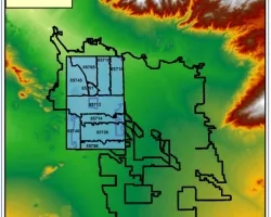
Team: • Jim Lee (Texas A&M University – Corpus Christi), co-I • Yuxia Huang (Texas A&M University – Corpus Christi), co-I • Lapone Techapinyawat (Texas...
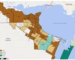
Team Members: Theresa Foley (Sonora Environmental Research Institute), Palmira Henriquez (Sonora Environmental Research Institute), Flor Sandoval (Sonora Environmental Research Institute), Rachel Spitz (Sonora Environmental Research...