Displaying 131 - 140 of 305
Topic
SPARROW is widely used throughout the United States for long term, steady state water quality analysis. However, users are increasingly asking for a dynamic version...

Topic
Central America is one of the world’s most vulnerable regions to natural disasters, including landslides and precipitation-driven flooding. In an effort to support disaster management...

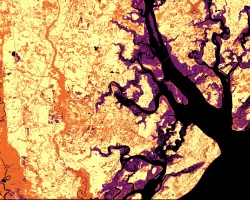
Lower Illinois River Valley Ecological Forecasting (Summer 2022) Team: Vanessa Machuca (Project Lead), Dana Myers, Hannah Rigdon, Christiana Saldana Summary: The Lower Illinois River Valley...
Georgia Disasters II (2023 Spring) Team: Shakirah Rogers (Project Lead), Nathan Tesfayi, Matthew Murray, Clarence Jackson Summary: Heirs property owners are especially vulnerable to natural...

Unalakleet Climate (Summer 2023) Team: Ian Lee (Project Lead), Clara Maxwell, Daniel J. Marsden, M. Jaweed Nazary Summary: The coastal community of Unalakleet is currently...
Topic
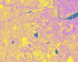
The Charles River watershed intersects 35 municipalities within the Boston Metropolitan Area and has a population of 1.2 million, making it one of the most...