Image

NASA
NASA
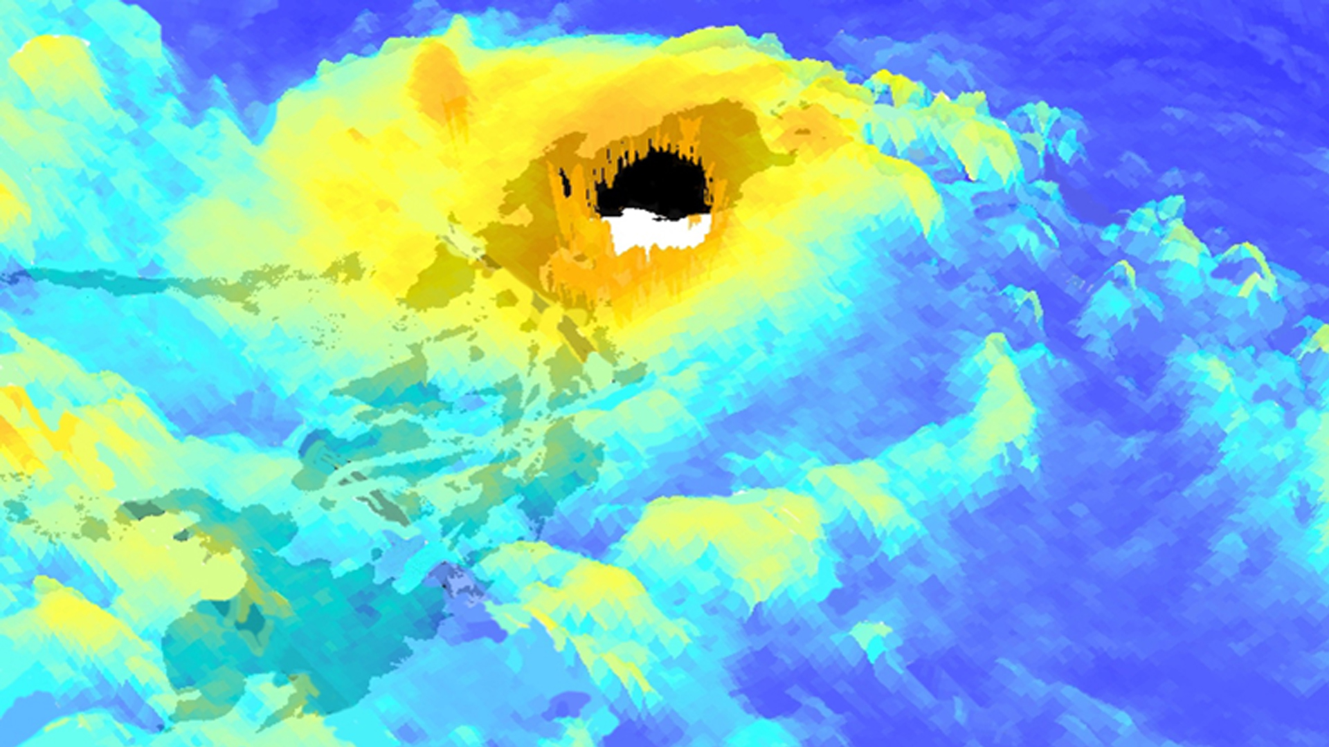
Tasseled cap greenness transformation derived from Landsat 8 imagery over lodgepole pine forest in the Intermountain West study area
Completed Projects
Sophia Leiker
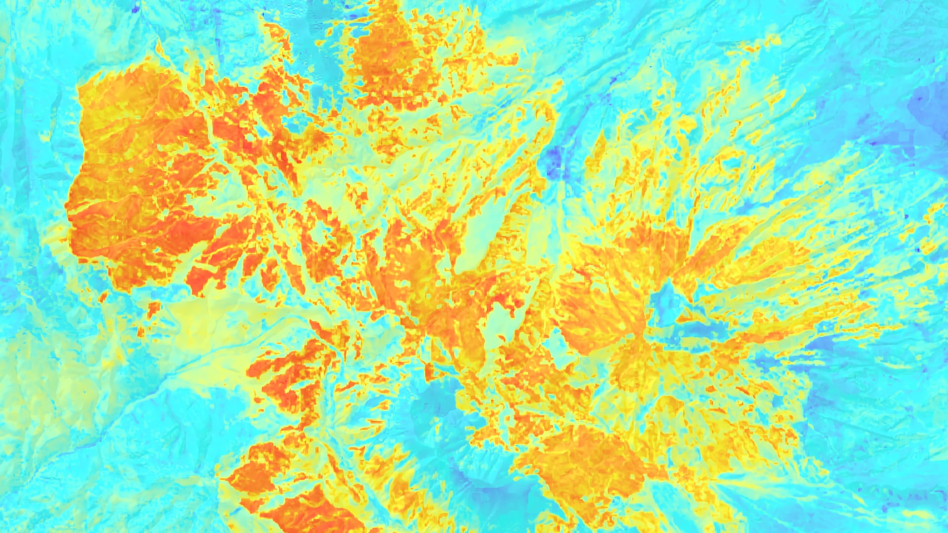
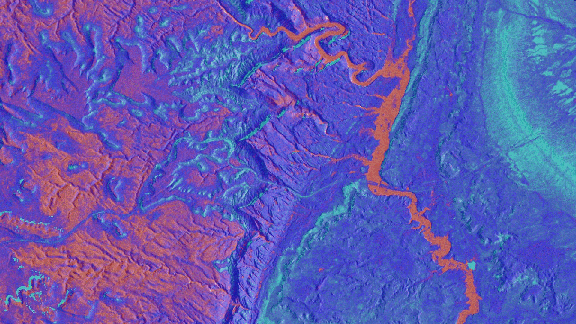
Both wildfires and conifer-defoliating insect outbreaks have increased in frequency and severity in recent years. Western spruce budworm (Choristoneura freemani), a widespread defoliator in western U.S. forests, has impacted over 6,000 hectares of forest in southern Colorado. The forest managers for southern Colorado’s Tercio and...
Margaret McCall
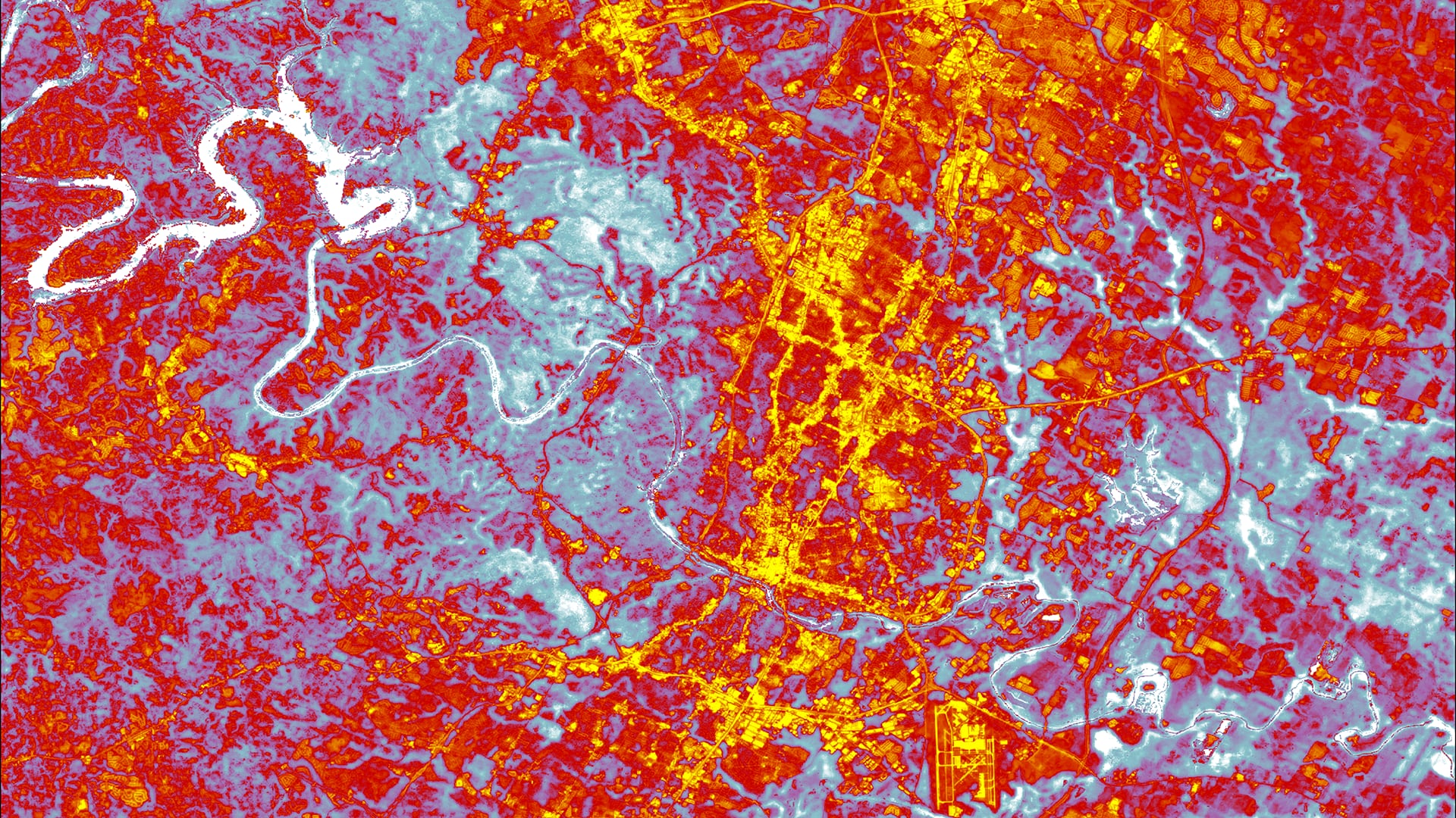
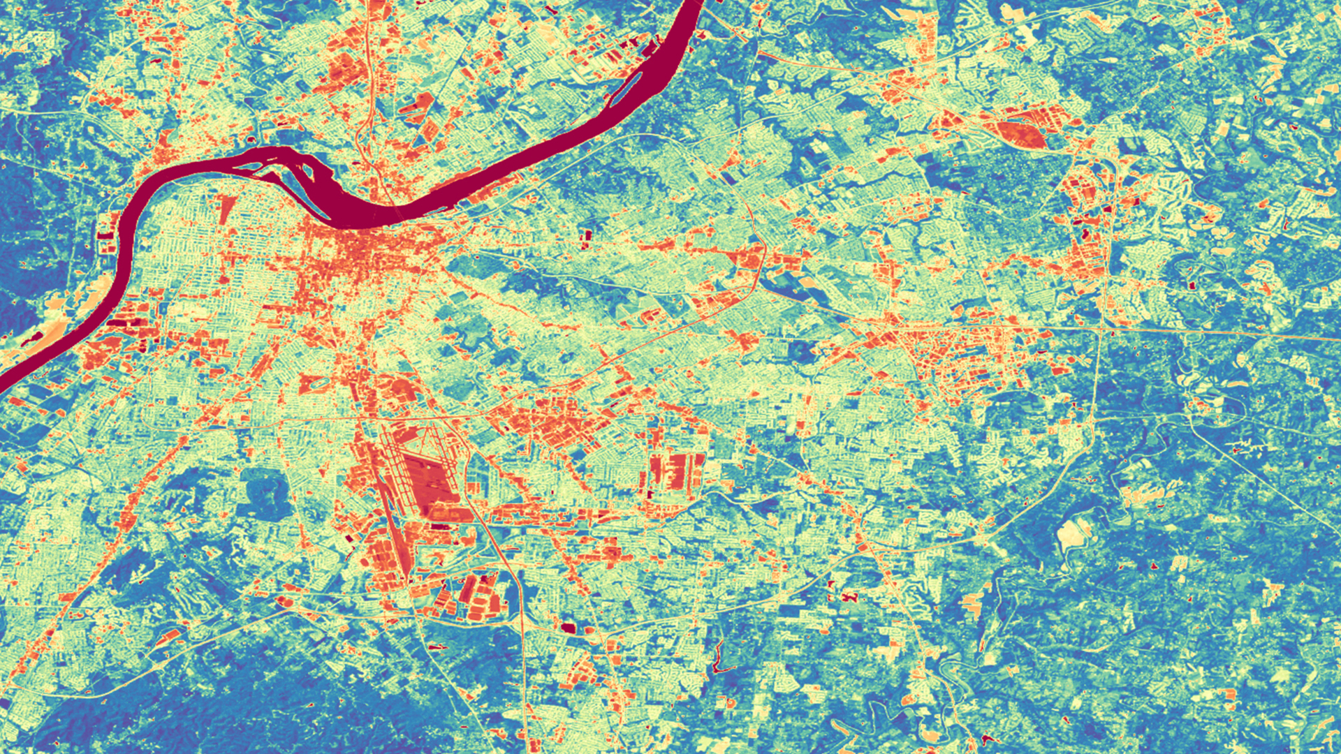
In recent years, Austin, Texas has experienced an increase in population and urban development. Additionally, the City’s climate continues to change and currently faces extreme heat and drought. As temperatures and demand for utilities and resources rise, the number of...
Scott Cunningham
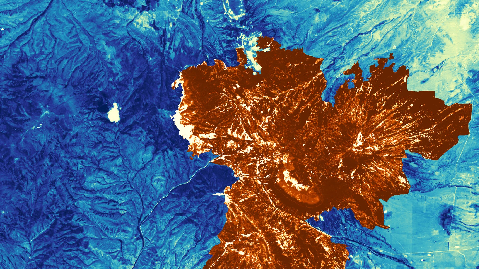
Quaking aspen (Populus tremuloides) is an important species for wildlife, watershed health, and ecosystem resilience across its range. Heavy ungulate browsing and factors influenced by a changing climate including seasonal temperature changes and moisture deficit have led to...
Rupsa Bhowmick
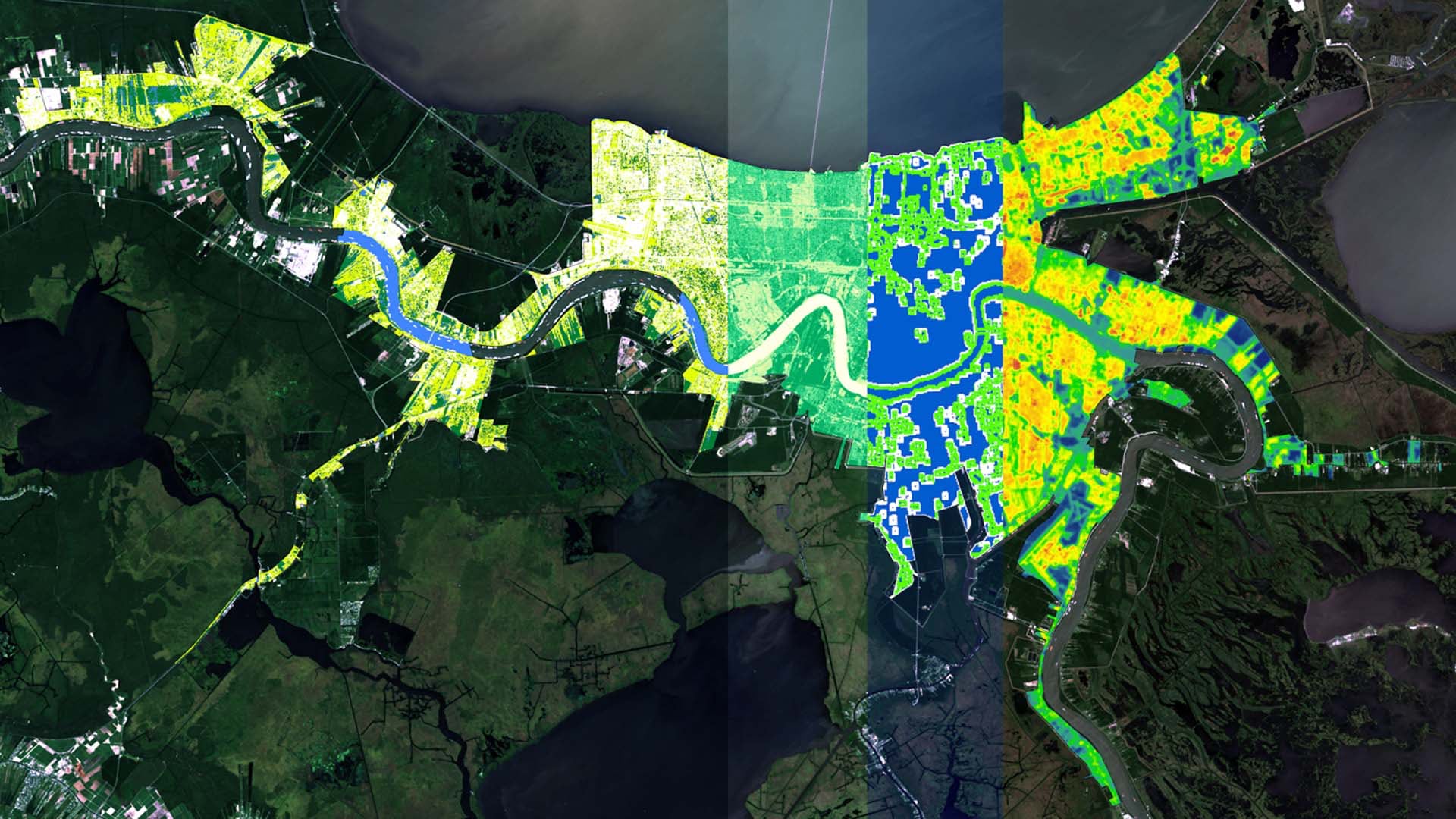
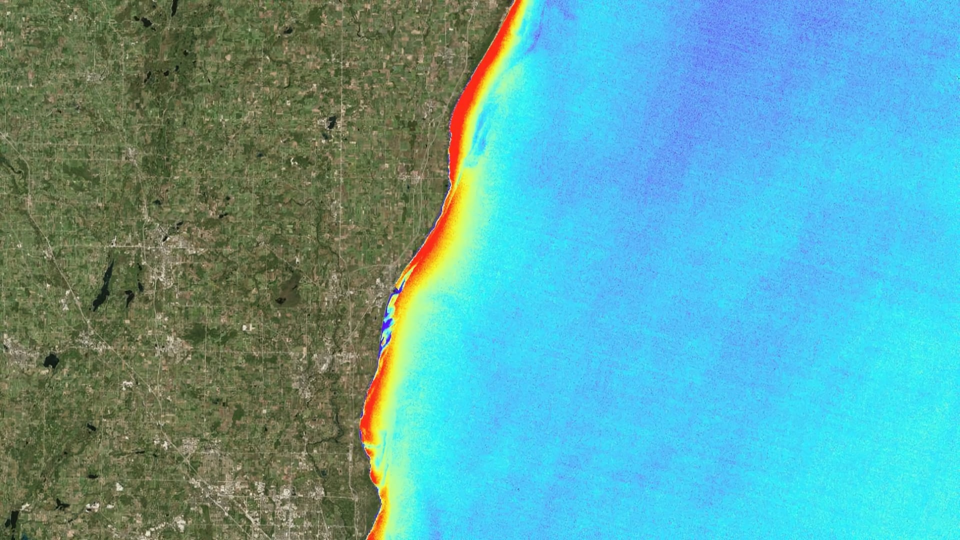
Flooding in New Orleans, Louisiana has increased in intensity and frequency due to sea level rise and land subsidence. Considered one of the rainiest cities in the country, New Orleans often experiences localized street flooding, causing damages to homes and businesses. Groundwork New Orleans (GWNO)...
Kristen Dennis
Since 1971, federal agencies have been tasked with managing burros in federally-designated herd management areas (HMAs). Because these areas are often large and remote, obtaining sufficient data on horse and burro populations and habitat preference can be difficult and expensive. In recent years, the United...
Jashvina Devadoss
Changing lake conditions, such as rising temperatures and phosphorus cycling by invasive Dreissenid mussels, have made washup of the green macroalgae Cladophora glomerata a consistent problem on beaches in Milwaukee County, presenting a threat to both wildlife and the local economy. Groundwork Milwaukee (GWMKE), a...
Katherine Cavanaugh
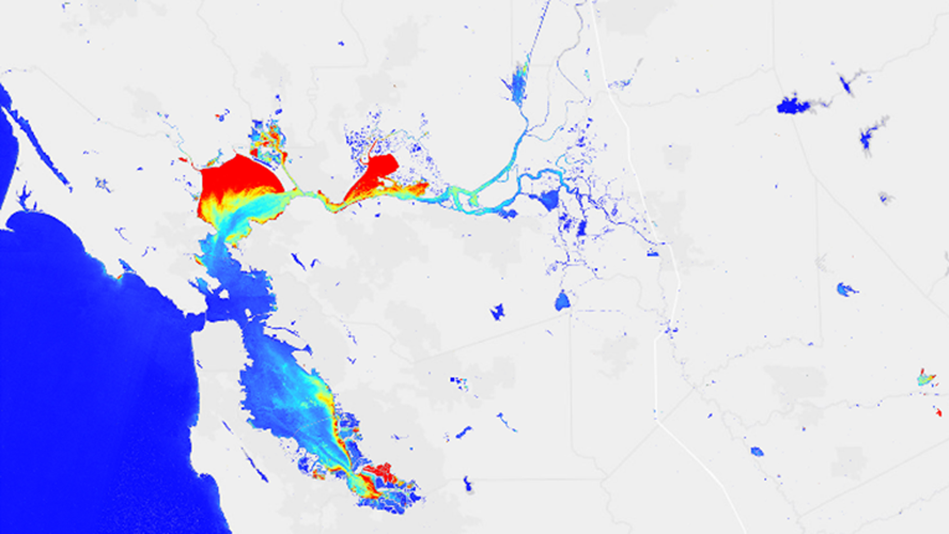
Water quality is a critical element of freshwater supply, particularly in times and areas of drought. Limited water resources can be further strained if water quality concerns are not effectively and efficiently addressed. While there are measures in place to protect human and environmental health...
Daniel T. Martin
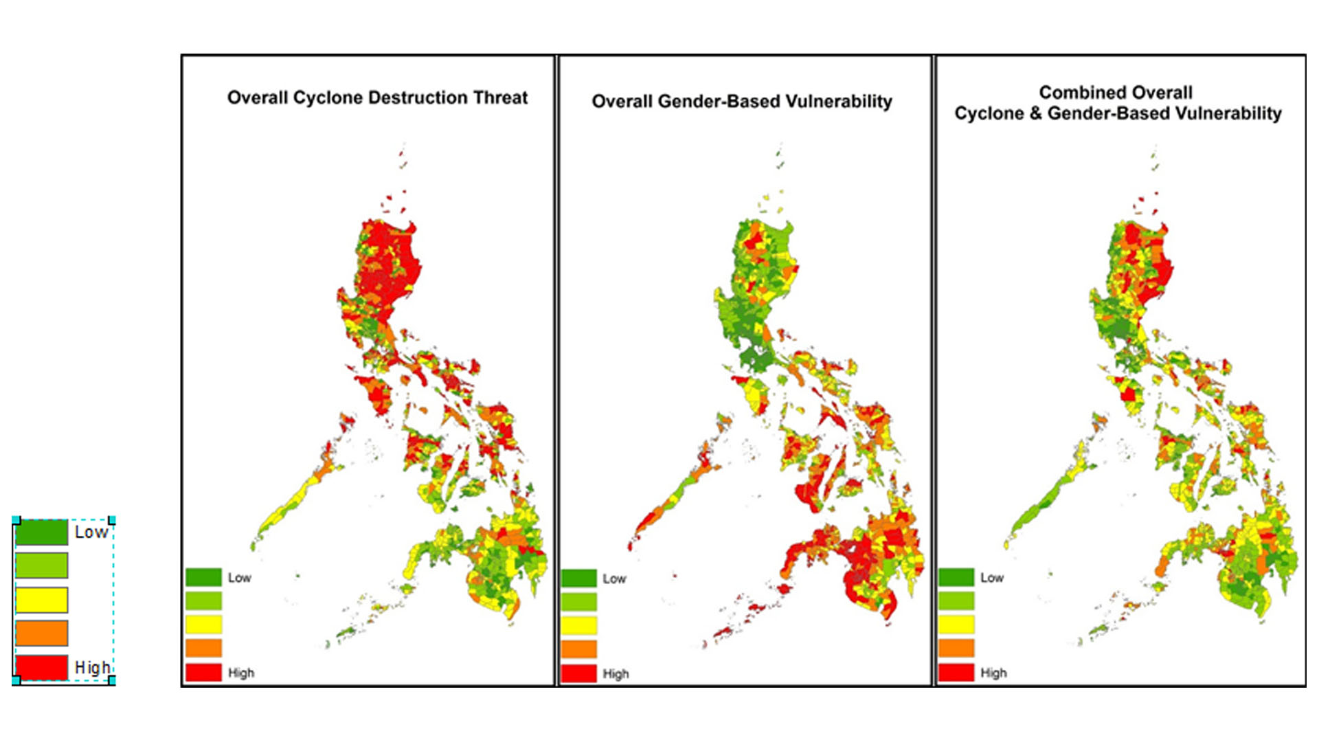
A comprehensive understanding of where sensitive populations and demographics are threatened by natural hazards is necessary for the assessment and prevention of disasters. The island nation of the Philippines is often threatened by tropical cyclones, which have had disastrous consequences in the past (e.g...
Michael Marston
The Philippine islands, located within the northwest Pacific Ocean Basin, are frequently affected by tropical cyclones. During and after tropical cyclones, the number of Gender-Based Violence (GBV) crimes increase. To assist the United Nations Office for the Coordination of Humanitarian Affairs (OCHA), a cyclone vulnerability...
Naji Rizig
Greenness and land surface temperature (LST) have been extensively correlated to urban public health. Chronic diseases such as diabetes, asthma, and cardiovascular illnesses have been linked to regions of high LST and areas lacking urban green spaces. One of our...