Displaying 41 - 50 of 81

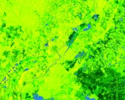
Lower Illinois River Valley Ecological Forecasting (Summer 2022) Team: Vanessa Machuca (Project Lead), Dana Myers, Hannah Rigdon, Christiana Saldana Summary: The Lower Illinois River Valley...
Maya Forest Water Resources II (Fall 2021) Team: Stephanie Jiménez (Project Lead), Karen Alvarez, Rene Castillo, Daniel Nohren, and Stephanie Lawlor Summary: To monitor seasonal...
Topic
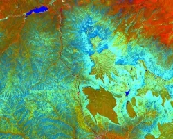
Fisher’s Peak is a 77.5 km2 property southeast of Trinidad, Colorado that is planned to become Colorado’s newest state park. The area has experienced limited...

Hawai‘i Island Disasters (Fall 2021) Team: Garren Kalter (Project Lead), Rose Eichelmann, Sanketa Kadam, Erin Azuma, and Anna Mikkelsen Summary: As the County of Hawai‘i...
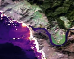
Mexico Disasters (Spring 2022) Team: Philip Casey (Project Lead), John Willis, Sean Nelsen, Zachary Silberman Summary: In this project, NASA DEVELOP partnered with Mexico’s National...
Topic
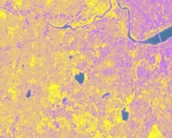
The Charles River watershed intersects 35 municipalities within the Boston Metropolitan Area and has a population of 1.2 million, making it one of the most...

Topic
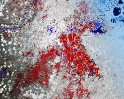
Artisanal and small-scale gold mining (ASGM) is responsible for a large fraction of deforestation and disturbance in Amazonia. These activities cause severe impacts on the...
Georgia Disasters II (2023 Spring) Team: Shakirah Rogers (Project Lead), Nathan Tesfayi, Matthew Murray, Clarence Jackson Summary: Heirs property owners are especially vulnerable to natural...
Topic
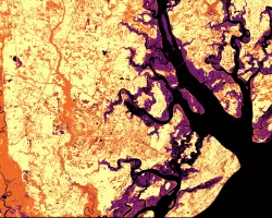
Estuaries are dynamic environments that provide a host of vital ecosystem services. California’s Marine Life Protection Act protects such ecosystems by creating Marine Protected Areas...
Topic
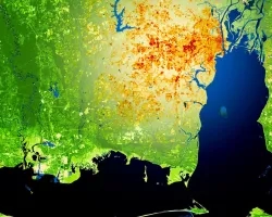
This project utilized satellite Earth observations to assess locations in Mobile County, Alabama, that are vulnerable to the urban heat island effect (UHI) and flood...